Drone Roof Inspection in Franklin, TN
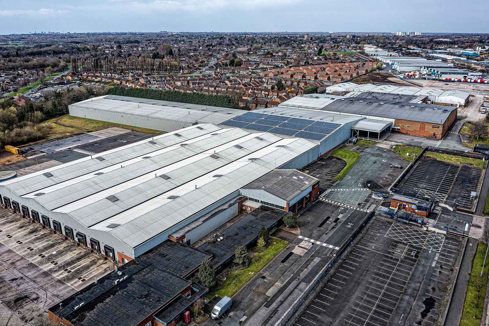
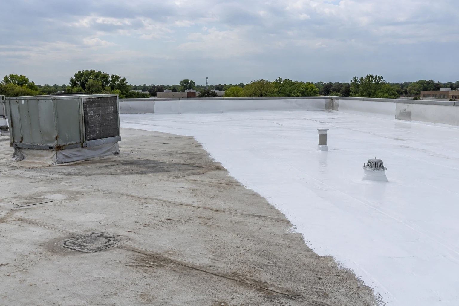
Some roofs are too large to walk quickly, too high to reach safely or too fragile to step on. A drone sees them without a footstep. Commercial Roofing Franklin uses drone imaging as part of roof inspections in Franklin, TN, covering warehouse-style buildings, mid-rise offices and other roofs where a ladder-and-boots walk would take a long time or put a crew at risk. The drone does not replace a hands-on look. It tells us where to look first.
Think of the drone as a fast first pass. It flies the entire roof, records overlapping high-resolution images and gives us a map of what is there before anyone steps on the membrane. From that map we pick the places that need a closer look, and we save hours of searching on a large surface.
When a Drone Earns Its Place
A drone makes the most sense on large, low-slope roofs where seams, drains and equipment are spread over a wide area. It also helps after a storm, when debris and loosened material make a roof unsafe to cross until a crew knows where the hazards are. It helps on steep or fragile surfaces, such as aged metal or skylight-heavy roofs, where stepping on the roof risks damage. On mid-rise buildings, it avoids lifts and long ladder climbs.
Franklin has roofs like that. The McEwen area around Cool Springs holds close to twelve million square feet of commercial, office and industrial space, and west of the mall there are offices and showrooms in large, warehouse-style buildings. In the Southall area along Columbia Avenue, commercial and office space sits in larger warehouse-style buildings as well. A drone can document these surfaces quickly and at the same time of day, which makes before-and-after comparisons easier.
What the Images Show
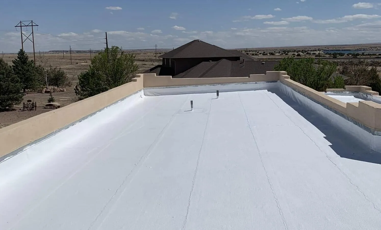
High-resolution photographs reveal many conditions: ponding stains, torn or lifted seams, open flashings, missing fasteners, blistering, debris in drains and damaged copings. A close pass along parapets shows edge metal that has lifted or sheared. A stitched map lets us measure the area of damage and tag each defect with a location.
Images record the roof exactly as it was on the day of the flight. If a storm moves through later, a second flight shows what changed. That record is valuable for insurance work, because it separates old conditions from new damage. The images are stored with your inspection report and can be shared with an adjuster, an owner or a lender.
Scale helps too. Flights are planned in a grid at a steady height, so each photo overlaps the next. That overlap lets software stitch the roof into one map, correct for the camera angle and allow measurement of ponding areas, patch sizes and the distance from a defect to the nearest drain. A property manager reviewing the map on a screen can point to the exact seam we mean, instead of trusting a description.
Thermal Imaging From the Air
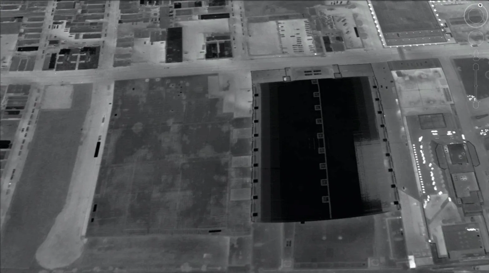
With a thermal camera, a drone can also look for temperature differences that point to wet insulation. After a sunny day, wet areas hold heat longer than dry ones, so they glow warmer on an evening flight. This is the same principle as a ground-based infrared moisture survey, covered quickly across a wide area.
Thermal results are a guide, not a diagnosis. Reflective coverings, shadows, standing water and rooftop units can all create false readings. We confirm anything suspicious with a moisture meter or a core sample before recommending a repair, so you pay for work the roof needs and not for a pattern on a screen. Readings taken in the cool hour after sunset are the most useful, and we repeat a flight when the first one was clouded by weather.
What a Drone Cannot Do
A drone cannot press on a soft spot, test a seam with a probe or smell a damp deck. It cannot see under equipment, inside curbs or beneath ponded water. Weather also limits it, with high wind, rain and low light grounding a flight. We fly in conditions that give good images, and a clean image set is not a clearance: a roof is called sound only after the hands-on check.
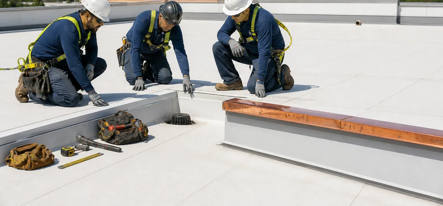
That is why the flight is followed by a targeted hands-on inspection of flagged areas. The pair is faster than either method alone, and it points repair crews to the exact places that need work. Any repairs that follow are quoted from the images and the walk together.
Flight Rules and Airspace
Drone flights have rules. Franklin sits inside the Nashville metro area, and the airspace around Nashville International Airport and other fields is controlled. Flying near an airport requires authorization, and operators must follow Federal Aviation Administration rules for altitude, line of sight and flight over people. We plan each flight with these limits in mind and tell you when a roof is close enough to controlled airspace that approval may add time.
We also tell tenants and neighbors when a flight is scheduled, keep the drone away from people and parking areas, and avoid flying over occupied outdoor spaces. If a building has sensitive uses, such as a medical facility, we discuss privacy before the flight.
Putting the Results to Work
The images become part of your roof file. Portfolio managers can compare roofs across properties, from retail centers along Mallory Lane to distribution buildings in La Vergne, because every flight uses the same method. Over time, a series of flights shows how quickly each roof is aging, which supports capital planning with real evidence.
For contractors, the images give a clear scope for bidding or phasing, and for owners they reduce time on the roof. A single flight can document a large property in a fraction of the hours a full walk would require.
Before the flight, we agree on a scope: which buildings, what time of day, and whether thermal imaging is wanted. After it, the images and map are delivered with a short list of the areas we plan to walk. If an urgent problem appears in the images, such as an open seam above an occupied space, we call you before the report is finished.
Commercial Roofing Questions
Is a drone inspection enough on its own?
For a quick survey, it can be. For a decision about repair or replacement, we follow it with a hands-on look at flagged areas, since only a probe or a core can confirm moisture.
How big does a roof need to be for a drone?
There is no fixed size. Drones help most on large roofs, steep or fragile surfaces, and tall buildings where access is slow or risky.
Can you fly near the airport?
It depends on the airspace class and the location of the roof. Near controlled airspace, we request authorization first and schedule around the approval.
Will the flight disturb tenants?
Very little. The drone is quiet from the ground, and we tell the building contact when the flight happens. We avoid flying over people.
Can a drone find hail damage?
It can show bruised or cracked surfaces and displaced granules on some roofs, but small hail marks usually need a close look. Hail reports in Middle Tennessee, including stones up to about three-quarters of an inch in a July 2026 warning, are reasons to fly and then verify on foot.
What do I receive after the flight?
You receive a photo set, a stitched roof map, marked defects and our findings, along with recommendations for repair, further testing or monitoring.